UAV測量
UAVSurvey

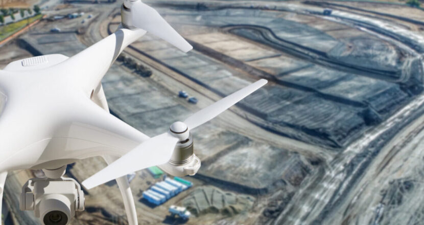
UAV(ドローン)を使って測量の支援を行います。
地上測量(トータルステーション、GNSS測量)を行った箇所にマーカー(GCP)を設置、もしくはRTK(RealTimeKinematic)GNSSを装備したUAVを使用し、
高い座標精度の2次元3次元地図データを作成します。
高解像度の写真と低い歪みのレンズにより誤差数センチ以内の精度を実現します。
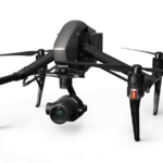
当社採用機
・Inspire2(x5s)

ソリューション
Solution
Solution
UAVSurvey

UAV(ドローン)を使って測量の支援を行います。
地上測量(トータルステーション、GNSS測量)を行った箇所にマーカー(GCP)を設置、もしくはRTK(RealTimeKinematic)GNSSを装備したUAVを使用し、
高い座標精度の2次元3次元地図データを作成します。
高解像度の写真と低い歪みのレンズにより誤差数センチ以内の精度を実現します。
当社採用機
・Inspire2(x5s)

| Cookie | 期間 | 説明 |
|---|---|---|
| cookielawinfo-checkbox-analytics | 11 months | This cookie is set by GDPR Cookie Consent plugin. The cookie is used to store the user consent for the cookies in the category "Analytics". |
| cookielawinfo-checkbox-functional | 11 months | The cookie is set by GDPR cookie consent to record the user consent for the cookies in the category "Functional". |
| cookielawinfo-checkbox-necessary | 11 months | This cookie is set by GDPR Cookie Consent plugin. The cookies is used to store the user consent for the cookies in the category "Necessary". |
| cookielawinfo-checkbox-others | 11 months | This cookie is set by GDPR Cookie Consent plugin. The cookie is used to store the user consent for the cookies in the category "Other. |
| cookielawinfo-checkbox-performance | 11 months | This cookie is set by GDPR Cookie Consent plugin. The cookie is used to store the user consent for the cookies in the category "Performance". |
| viewed_cookie_policy | 11 months | The cookie is set by the GDPR Cookie Consent plugin and is used to store whether or not user has consented to the use of cookies. It does not store any personal data. |


